AP to deploy drones for land survey
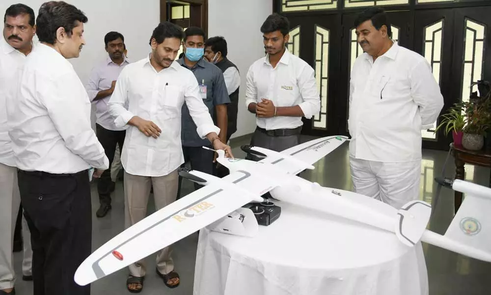
Chief Minister Y S Jagan Mohan Reddy inspects the state-of-the-art drone designed for use under the YSR Jagananna Saswatha Bhu Hakku-Bhu Raksha scheme, at his camp office in Tadepalli on Thursday
The Andhra Pradesh government is planning to use advanced technology by deploying drones for the comprehensive land survey in the State.
Vijayawada: The Andhra Pradesh government is planning to use advanced technology by deploying drones for the comprehensive land survey in the State.
Chief Minister YS Jagan Mohan Reddy on Thursday held a review meeting on 'YSR Jagananna Saswatha Bhu Hakku – Bhu Raksha' scheme and inspected the functioning of drones designed for the comprehensive land survey.
During the review meeting, the Chief Minister directed the officials to resolve the previous problems that had arisen in the Webland system of land records in a most transparent manner. He asked them to prepare SOPs on procedures to be followed in this regard.
He said the land records should be prepared in such a way that they can't be tampered with and added that physical records should be prepared along with electronic records. He said the physical records also should be updated regularly. He said the survey should be conducted without delay once applied for sub-division. The Chief Minister said the system should be corruption-free and stringent action should be taken against the corrupt and added that the registrations should be done at village/ward secretariats. He instructed the officials to set up Mobile Tribunals to solve land issues and said it would help resolve the issues locally.
The Chief Minister said that there should be no controversies by the time clear title deeds are given to landowners.
He directed the officials to involve the Law Department in the process and added to prepare a roadmap in this regard. "AP should set an example in terms of Land Surveys and Records," he added.
The officials informed the Chief Minister that 51 advanced drones will be operational for conducting land survey by April 5 and said another 20 drones are being procured to expedite the process and added that a total of 154 drones will be used for land survey. They said drone survey was completed in 1441 villages so far and are planning to complete more areas by monsoon.
The officials said they plan to complete land survey and issue clear titles in 5200 villages by the end of July 2023, 5700 villages by the end of August 2023 and 6460 villages by the end of September 2023. They said the first phase of taking Orthorectified Radar Image (ORI) images in villages will be completed by November, second phase by December and third phase by January 2023.


