Coronavirus in Kurnool: Police uses google maps with geotagging system to implement lockdown

Coronavirus in Kurnool: Police uses google maps with geotagging system to implement lockdown
x
Representational Image
Highlights

In the wake of the increasing number of coronavirus cases in the Kurnool district, the police has become even more vigilant and are using technology to contain the virus.

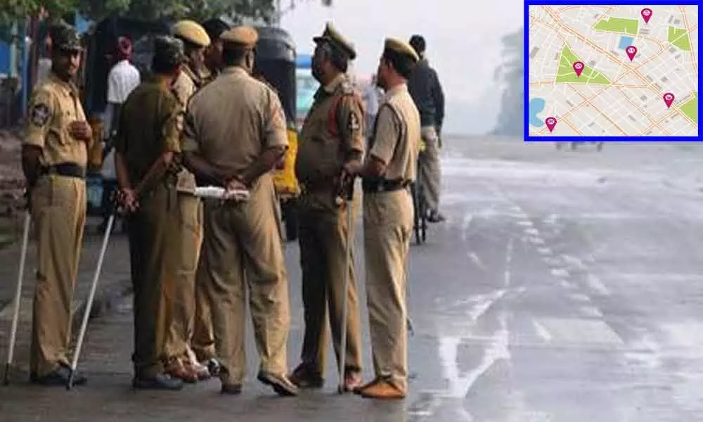
In the wake of the increasing number of coronavirus cases in the Kurnool district, the police have become even more vigilant and are using technology to contain the virus. They have made arrangements for monitoring through online by setting up of COVID-19 Command Control Center at Vyas Auditorium at the District Police Offices and the red zone regions are geotagged using google maps to identify the suspects and patients who come out from their houses.

The security is also tightened at the places where the positive cases were reported and police are not allowing anyone to enter into such areas and the petrol bunks and other grocery stores were also remained shut in those areas. As there are 27 containment zones in the district and the people in their jurisdictions are not allowed to come out even for the essential items. The police have set up barricades to avoid people coming out.

There is curfew-like the situation in the areas where there is more number of cases reported in the district. The health survey is continuing along with the prevention of virus measures in suspected areas. Police officers are urging the public to cooperate with Corona Control measures without coming out.

As far as now, 74 coronavirus positive cases reported in Kurnool with overall cases of 329 in the state. Apart from positive cases, four fatal cases were reported.

Show Full Article
Print Article
Next Story
More Stories
ADVERTISEMENT
ADVERTISEMENTS