Live
- Pakistan Protests: PTI Supporters March Towards Islamabad, Demanding Imran Khan's Release
- Additional Collector Conducts Surprise Visit to Boys' Hostel in Wanaparthy
- Punjab hikes maximum state-agreed price for sugarcane, highest in country
- Centre okays PAN 2.0 project worth Rs 1,435 crore to transform taxpayer registration
- Punjab minister opens development projects of Rs 120 crore in Ludhiana
- Cabinet approves Atal Innovation Mission 2.0 with Rs 2,750 crore outlay
- Centre okays Rs 3,689cr investment for 2 hydro electric projects in Arunachal
- IPL 2025 Auction: 13-year-old Vaibhav Suryavanshi becomes youngest player to be signed in tournament's history
- About 62 lakh foreign tourists arrived in India in 8 months this year: Govt
- IPL 2025 Auction: Gujarat bag Sherfane Rutherford for Rs 2.60 cr; Kolkata grab Manish Pandey for Rs 75 lakh
Just In
From Sikkim cloudburst to highest peak in Himachal


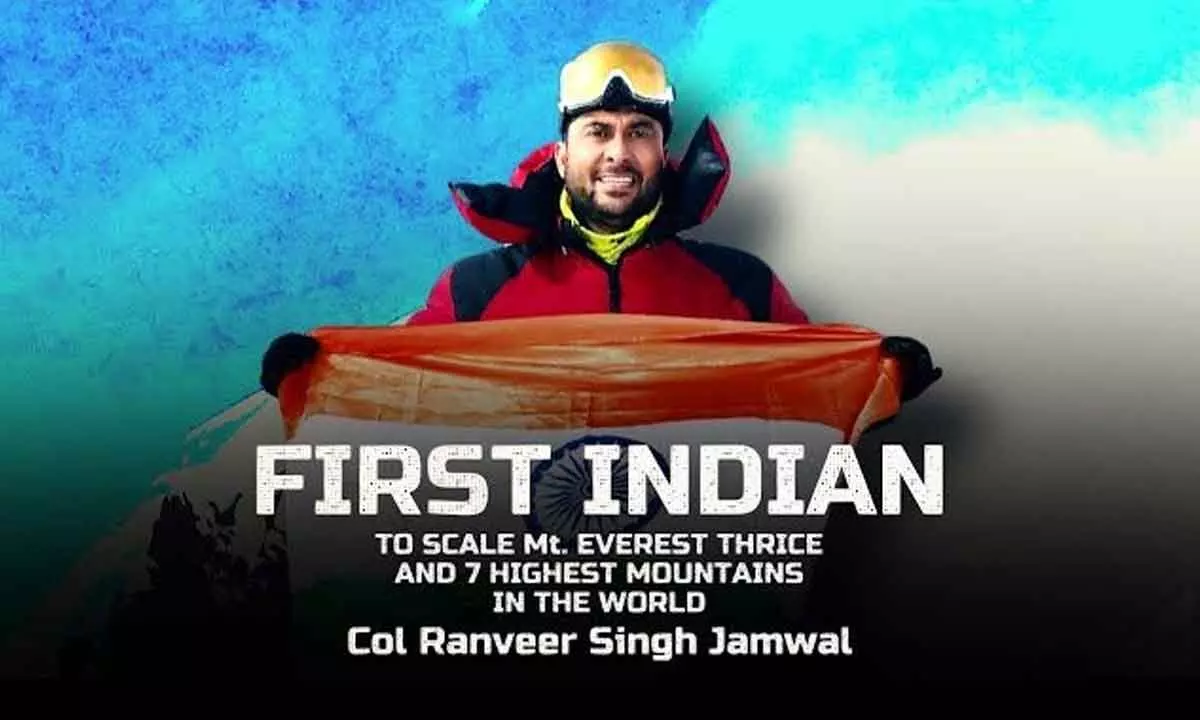
Diverse experience for Colonel Ranveer Singh Jamwal and his team
A major challenge was locating the highest points of all the states and it took around three months to design the map. Post the research, planning and training, listing of the peaks and their recce was done along with all the necessary permissions, and then the team started off. It was found that Mt Reo Purgyil is actually the highest peak of Himachal Pradesh and that the highest point of Punjab is an unnamed located in the Naina Devi Range
Guwahati: For Colonel Ranveer Singh Jamwal and his team, it was meant to be a night of rest and relief on the foothills of the Himalayas in Sikkim after successfully undertaking a novel mission of hoisting the Tricolour on the highest peak of all states of the country.
But the night of October 3 turned into one of the most scariest as it was a 10-minute window which saved them from near-certain death as a cloudburst created havoc in Sikkim, from which it is still grappling to come back to normalcy. “We had climbed the last peak of the mission on October 2, Mt Jongsong in Sikkim.
The next day, we were staying overnight at an ITBP post in Janak. We had hardly signed in relief of completing our mission when around 10 pm the first waters came gushing in,” Col Jamwal told PTI here. “Our team managed to get out with our stuff in 10 minutes, and being mountaineers, our first instinct took us up the hills. And that window of 10 minutes and running up to the hills rather than down saved us, I think,” he said.
Jamwal was leading a team of about 20, comprising mountaineers and other logistic support staff, from the National Institute of Mountaineering and Adventure Sports (NIMAS) on a mission to hoist the National Flag on the highest peak of all 28 states of the country. ‘Mission Har Shikhar Tiranga – Ek Muhim Matrabhumi Ke Lie’ was launched from Arunachal Pradesh on October 16 last year, with the final summit scaled in Sikkim earlier this month.
The expedition was carried out under the Ministry of Defence, which runs the NIMAS of which Col Jamwal is the incumbent director, and the team is on its way back to the Institute in Dirang in Arunachal Pradesh after successfully completing it. The officer said they spent three days in the mountains in their tents before starting their journey back, covering a distance of about 150 km to Gangtok by foot and hitching rides over four days – a journey which they had undertaken in a day by road before the cloudburst.
The team came by road from Gangtok to Siliguri, reaching the West Bengal town on October 11, he added. “I have witnessed nature’s fury earlier also. I was in the base camp when a 7.8 magnitude earthquake had hit Mt Everest. It was really horrifying. Equally scary was the night in Sikkim,” he said. As they make their way back to NIMAS through Guwahati, Col Jamwal said he was happy that the expedition has been successful and all his men were unscathed.
“From climbing to peaks with chilling temperatures to those in hot conditions, the experience has been varied over this last one year. We had teams of 50 to 100, including locals, joining us in the climbs in some states, while in others it was just the core team of five-six people,” he said. Another major challenge was locating the highest points of all the states and it took around three months to design the map. Post the research, planning and training, listing of the peaks and their recce was done along with all the necessary permissions, and then the team started off, he said. He added that the team also drove around 30,000 km across the country during the expedition, which was also a new experience for them.
Col Jamwal claimed that important discoveries were also made during the expedition and research, like it was found that Mt Reo Purgyil is actually the highest peak of Himachal Pradesh and that the highest point of Punjab is an unnamed located in the Naina Devi Range.
“Many of the highest peaks remain unnamed due to lack of awareness,” he said. “We will now go back and first let the feeling of what we achieved sink in. Soon afterwards, we shall plan and embark on the next journey,” the national adventure awardee added.

© 2024 Hyderabad Media House Limited/The Hans India. All rights reserved. Powered by hocalwire.com


