North East strife… rooted in history

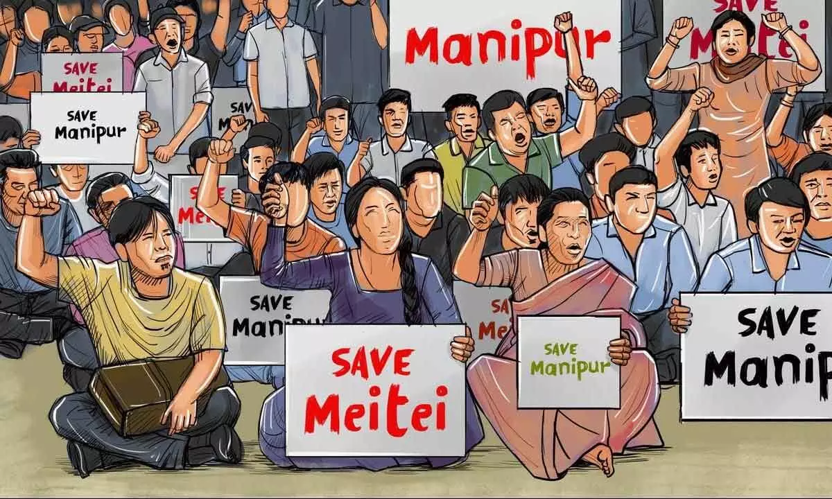
The Meiteis are the majority ethnic group in Manipur, but occupied only a tenth of the land and were not allowed to buy land in the hill areas. This right was the birthright of the Meiteis too but denied after independence. By contrast, the hill tribes could buy land, and as scheduled tribes had better opportunities for employment in the public sector
The case of Arunachal Pradesh is not only crucial but extremely important in understanding why India stands today where it does with its borders with China.
Arunachal Pradesh, formerly the North-East Frontier Agency, is in the extreme northeast of India. It borders Assam and Nagaland to the south, Bhutan in the west, Myanmar in the east and is separated from China in the north by the McMahon Line.
There are several conflict points along the Sino-Indian border. Every time there is an intrusion we hear the talk of ‘perception’. Though the McMahon Line was agreed upon as the border in 1914 between the Tibetan government and the British colonial government, it was not accepted by the Chinese. The contribution of Inner Line and Outer Line ambiguity also contributed to it a lot. Arunachal Pradesh became a state on 20 February 1987.
The terrain here is cut by river valleys, including those of the Kameng, Subansiri, Siang (Brahmaputra), Dibang, Lohit and Dihing rivers. As of 2005 about 63.66% of the population were members of scheduled tribes. The remainder are mostly immigrants from Bengal or the Hindi Belt. The state is home to various Tibeto-Burman speaking Tribes. Monpa people live near the border with Bhutan to the west, Tani people and Mishmi people in the center, Jingpo, Naga and Lisu people in the area bordering Myanmar to the east and Naga people in the area bordering Nagaland in the south. There are transition zones on the borders where the Bugun, Hruso, Miji and Sherdukpen people form cultural “buffers” between the Tibetic Buddhist tribes and the Tani hill tribes. In addition, there are isolated peoples scattered throughout the state.
The Chinese not only eye Tibet for its resources but seek to ‘play’ games in the region itself as they find the ground very fertile for insurgencies and manipulation. Whereas the case of Manipur is slightly different. For the British, it was a subordinate native state in 1891 and in 1907 it said the hill population was dependent on the Maharajah of Manipur. The Kukis rebelled between 1917 and 1919 but the British warning that they would wipe out their settlements forced them to calm down. In 1947, the king signed an Instrument of Accession with India, to take effect in 1949 possibly exceeding his authority under the constitution. Manipur was not included in the Eighth Schedule until 1992. The Manipuri people did not see the union with India as providing any benefits.
As of 2005 about 34.41% of the population were members of scheduled tribes. The hill tribes of Manipur included Naga tribes in the areas next to Nagaland, and Kuki and Mizo tribes in areas next to Mizoram. The umbrella terms “Naga” and “Kuki” in the first list of scheduled tribes were not accepted by the tribes, who insisted on a change to the list in 1965 under which they were designated by their names.
The Meiteis are the majority ethnic group in Manipur, but occupied only a tenth of the land and were not allowed to buy land in the hill areas. This right was the birthright of the Meiteis too but denied after independence. By contrast, the hill tribes could buy land, and as scheduled tribes had better opportunities for employment in the public sector. Meiteis formed militant separatist groups befriending groups in Myanmar and North East India, like the United National Liberation Front, People’s Liberation Army and People’s Revolutionary Party of Kangleipak, and fought an urban or semi-urban guerrilla war in the Imphal valley.
Faced with simultaneous uprisings in the plains and by the Kukis of the hill regions, in 2008 the Indian Army signed a Suspension of Operation agreement with eight Kuki groups in the hope that they could be used against the rebel groups in the valley. Active groups in Manipur in 2009 included the People’s Revolutionary Party of Kangleipak, the Military Council faction of the Kangleipak Communist Party, the People’s United Liberation Front, the People’s Liberation Army and the Kuki Revolutionary Army. The areas bordering Nagaland were affected by the National Socialist Council of Nagaland-Isak-Muivah (NSCN-IM).
In the princely state of Tripura, the hills were inhabited by indigenous tribes, migrants from Myanmar and the Chittagong Hill Tracts, and Lusheis on the border with Mizoram. After the partition of India, Bangladeshi Bhadralok immigration increased and they occupied lands used for shifting cultivation by the tribal people, and came to dominate politics. This also meant loss of livelihood for the locals dependent on jhoom cultivation.
In 1988 one faction of the Tripura National Volunteers signed a Memorandum of Understanding with the Tripura State government and the Government of India. Other factions formed the dissenting National Liberation Front of Tripura and the All-Tripura Tiger Force, which were both active as of 2008. The 30 per cent of tribals here always are in conflict with the plainsmen.
Assam had mainly a Hindu majority in the fertile Brahmaputra valley. Cachar district was full of Bengalis. As of 2005 about 12.69% of the population were members of scheduled tribes which includes plains tribes such as the Bodo people. There are ongoing separatist movements by the hill tribes of Assam in the North Cachar Hills and the Karbi Anglong. In 2009 insurgent groups in Assam included the United Liberation Front of Asom, the Karbi Longri NC Hills Liberation Front and the Black Widow group.
Though Sikkim is part of the region, we don’t have to consider it here to understand the problem of the North East per se.


