‘Eye in the sky’ to rein in illegal mining

‘Eye in the sky’ to rein in illegal mining
x
Highlights

Mining Surveillance System allows for surveillance of areas up to 500 metres outside the lease boundary using satellite imagery

Hyderabad: The Mining Surveillance System (MSS), launched in 2016, is acting as a deterrent against instances of illegal mining in the country.

According to Union Minister for Coal and Mines, G Kishan Reddy, in the first year of its launch in 2016-17, the MSS generated 296 triggers, 52 in the subsequent year and 177, 138 and 157 in the following three years, respectively. It currently has aninput of 3,405 mining leases.

The MSS was developed initially for major mineral leases. However, the dedicated portal for the MSS was developed for all the stakeholders. As of today, the filters enabled under MSS allow ‘to drill down from the state-level right up to mine name and owner level.’ Also, the option selection type of scenes and information layers overlapping were made available for comparison.

Generally, most minerals extend beyond the vicinity of land given on lease. The MSS allows keeping an eye for surveillance of areas up to 500 metres outside the lease boundary using satellite imagery.

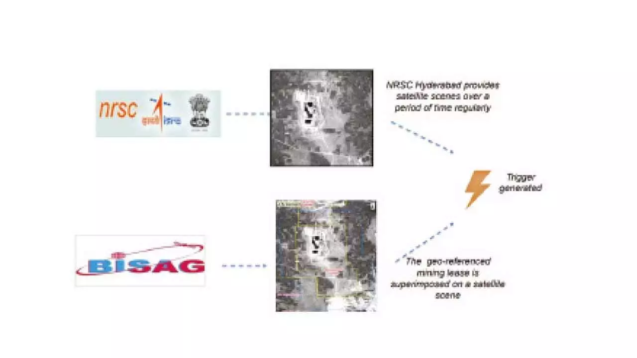
The satellite-based technology with minimum human interference is transparent. It gives an unbiased recording of the events around the mining areas. Further, it allows citizens to lodge complaints reporting unusual mining activity to check the veracity of such events. The National Remote Sensing Centre (NRSC) Hyderabad has provided satellite scenes for some time. This regular and live relay of data when the geo-referenced mining lease is superimposed on a satellite scene exposes any illegal mining activity in the area. This allows quick response and action, and the MSS has become handy for frequent monitoring of sensitive areas and helps in effective follow-up action on triggers monitored through a dashboard.

The Union Minister disclosed while replying to a question in the Parliament, “It is a satellite-based monitoring system which aims to facilitate State Governments in curbing instances of illegal mining.” Any unusual land use change observed on satellite imagery in a zone up to 500m outside the boundary of the mining lease area is captured and flagged as a trigger, and the State governments check for illegal mining.

Show Full Article
Print Article
Next Story
More Stories
ADVERTISEMENT
ADVERTISEMENTS