Govt gets cracking on GIS mapping of properties in 37 ULBs across TG

Govt gets cracking on GIS mapping of properties in 37 ULBs across TG
x
Highlights

The govt is making use of geospatial technologies to streamline property tax collection and also to check encroachments

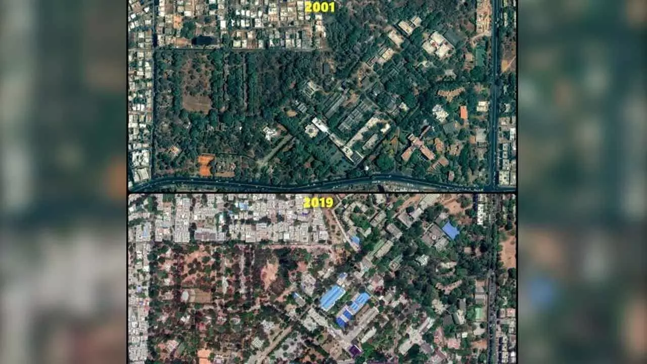
Hyderabad: The State government has started an ambitious plan to map properties in about 37 Urban Local Bodies (ULBs) using geospatial technologies to streamline property tax collection and also check encroachments. The project has already begun in the West Zone of the GHMC area.

The government had allocated over Rs 1,471 crore for the project in the budget, aimed at creating detailed and accurate maps of all properties and utilities, integrating datasets across various departments, and providing a unified view of the urban landscape.

A senior official said the objective of the assignment was to prepare GIS base maps for 37 ULBs using geospatial technologies to assist the ULBs in strategic planning and resource utilisation, management function, and planning and management of day-to-day operations on a 1:1000 scale using the latest high resolution satellite imagery and a survey of all physical features of towns.

The department has entrusted the work of preparing the GIS base map for 37 ULBs to M/s CED, Thiruvananthapuram. The agency was given the task of executing the project for 18 months, along with operation maintenance for the application for an additional two years. The initiative is a significant step towards enhancing urban planning, service delivery, and resource management in the city, the official said.

According to officials, a unique identification number (UIN) will be generated for each assessment for easy identification of the location of property, which will help GHMC effectively deliver services to citizens in door-to-door garbage collection, emergency and disaster management, and community engagement. “The UIN will also be used across other departments like HMWS&SB and TSSPDCL for providing seamless and quick services that require the collaboration of departments,” he added.

Officials said surveyors would be visiting homes to collect data after one month. A public web portal will also be enabled for citizens who can voluntarily link their assessments to the GIS map and help GHMC obtain input, express preferences, and participate in the decision-making processes related to urban development and public utilities. The data will be treated with the utmost confidentiality and will be used solely for enhancing urban management and service delivery, he informed.

Show Full Article
Print Article
Next Story
More Stories
ADVERTISEMENT
ADVERTISEMENTS