PoK areas feature in new maps released by govt

In the wake of the creation of separate Union Territories of Jammu and Kashmir and Ladakh, the government on Saturday released a new political map of the Indian Union, with 28 States and nine Union Territories (UTs).
New Delhi: In the wake of the creation of separate Union Territories of Jammu and Kashmir and Ladakh, the government on Saturday released a new political map of the Indian Union, with 28 States and nine Union Territories (UTs).
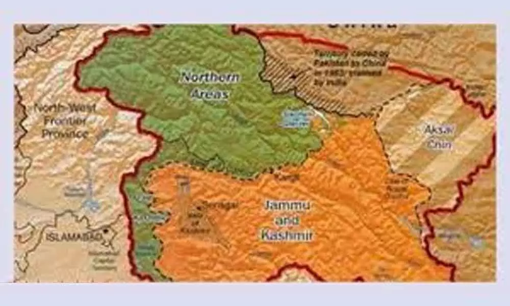
The new map denotes the bifurcation of the erstwhile state of Jammu and Kashmir and surprisingly includes three districts -- Muzaffarabad, Punch and Mirpur -- which are under Pakistan occupied Kashmir (PoK).
The Ladakh UT consists of two districts -- Kargil and Leh -- while the Jammu and Kashmir Union Territory comprises 20 districts.
In a gazette notification, the government also enumerated the territories in Leh district as: "Gilgit, Gilgit Wazarat, Chilas, Tribal territory and Leh and Ladakh, except the present territory of Kargil."


