Satellite imaging to demarcate borders

Satellite imaging to demarcate borders
x

Satellite imaging to demarcate borders

Highlights

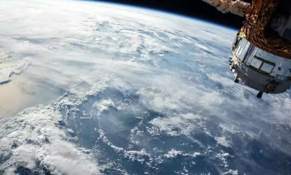
In a major development, the Central government has decided to use satellite imaging to demarcate boundaries of the northeastern states.

In a major development, the Central government has decided to use satellite imaging to demarcate boundaries of the northeastern states. This move will settle inter-state violence that sometimes leads to violence.

According to government officials, the task has been given to NESAC (North Eastern Space Application Centre), a joint initiative of the North Eastern Council and the Department of Space.

A few months back, Union Home Minister Amit Shah had come up with the suggestion to use satellite technology for demarcation.

He had suggested NESAC for mapping inter-state borders and forests so that there is a scientific demarcation of borders between states. NASAC is already using its space technology for flood management in the NE region.

Government officials said the "scientific" demarcation will leave no scope for any discrepancy and "there shall be better acceptability of the boundary solutions by the states."

"Once the satellite mapping is done, the boundaries of Northeastern states could be drawn and the disputes could be resolved permanently," they said.

The border dispute between both states arises from a decades-old land dispute over "improper demarcation of the state border". Both Mizoram and Assam claim the land and accuse each other of encroaching between Assam's Cachar district and Mizoram's Kolasib.

Show Full Article
Print Article
Next Story
More Stories
ADVERTISEMENT
ADVERTISEMENTS