Live
- 20 killed after boat capsize in Cameroon
- Share market opens in green, media and pharma stocks shine
- Gold rates in Delhi today surges, check the rates on 29 November, 2024
- Gold rates in Hyderabad today surges, check the rates on 29 November, 2024
- Gold rates in Vijayawada today surges, check the rates on 29 November, 2024
- Gold rates in Visakhapatnam today surges, check the rates on 29 November, 2024
- Gated communities care two hoots about SEEEPC survey in Hyderabad
- Chandrababu to visit Anantapur for NTR Bharosa pension fistribution tomorrow
- RR dist registers 91.6% survey completion rate
- Ex CID chief has biz links in Dubai, alleges Dy Speaker RRR


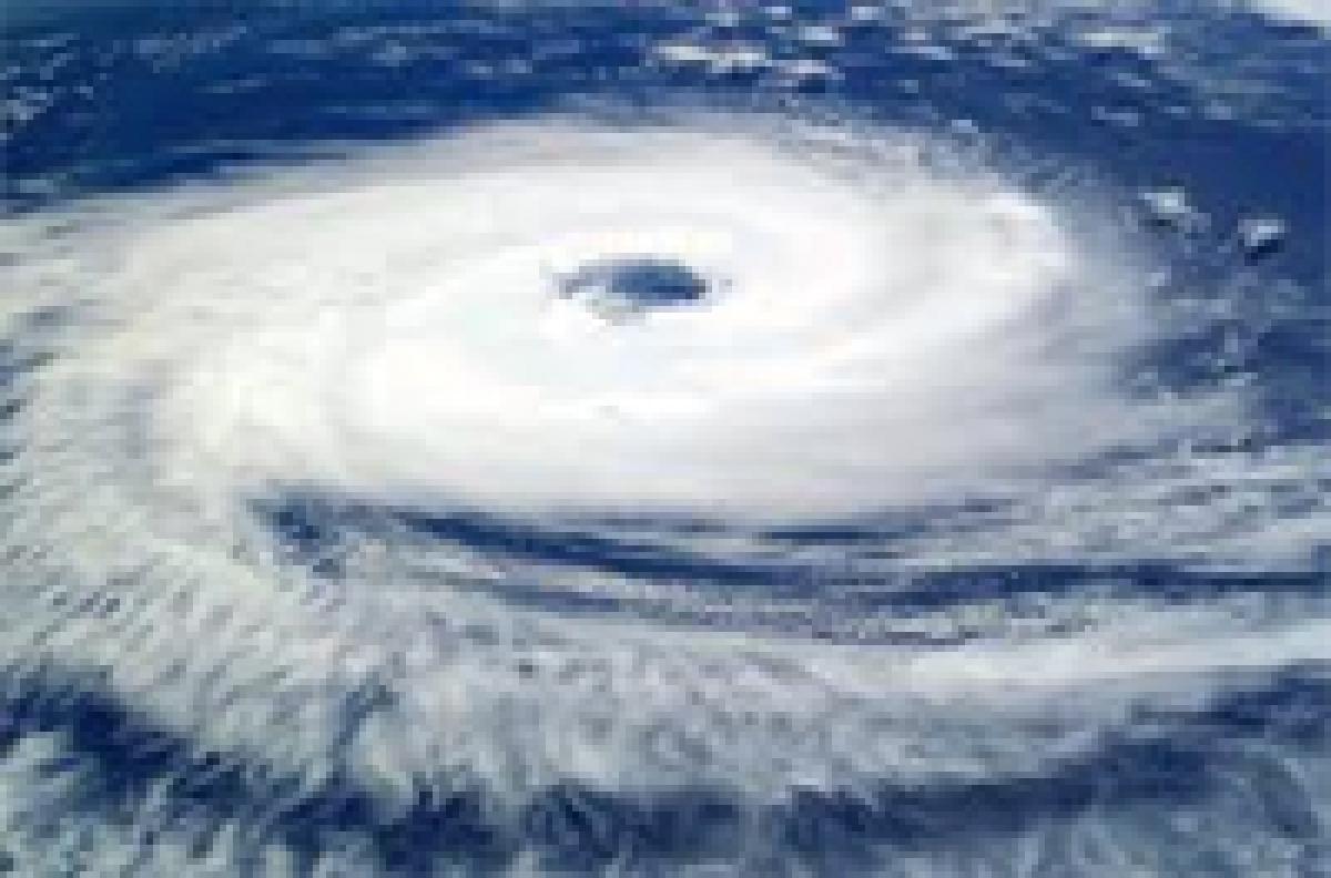
.jpg) Kolkata: A deep depression over northeast Bay of Bengal today intensified into cyclonic storm 'Komen', with the MeT department forecasting heavy to very heavy rains with isolated extremely heavy rains in Gangetic West Bengal.
Kolkata: A deep depression over northeast Bay of Bengal today intensified into cyclonic storm 'Komen', with the MeT department forecasting heavy to very heavy rains with isolated extremely heavy rains in Gangetic West Bengal.


