Taiwan launches database on quake-prone areas

Taiwan launches database on quake-prone areas
x
Highlights

Taiwan launched a database Monday to inform residents about which areas might be susceptible to creating potentially catastrophic sinkholes in the event of one of the island\'s frequent earthquakes.

Beijing: Taiwan launched a database Monday to inform residents about which areas might be susceptible to creating potentially catastrophic sinkholes in the event of one of the island's frequent earthquakes.

The Central Geological Survey's research tool shows the potential for soil liquefaction, in which the ground subsides, endangering buildings above. Color-coded maps can be sent in the form of alerts to computers and smartphones when a quake strikes.

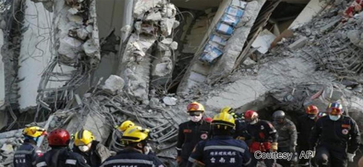
Liquefaction is believed to have caused a 17-story apartment building in the southern city of Tainan to topple after a magnitude-6.4 quake struck on Feb. 6, killing 115 people.

The phenomenon was also blamed for many of the building collapses in a 1999 magnitude-7.6 quake that killed 2,300 people and led to a thorough overhaul of building codes.

Most areas at risk are low-lying with sandy soil, or which have silted up over time or been filled in artificially. About three-quarters of Taiwan is covered by mountains ranging as high as almost 4,000 meters (13,000 feet), limiting the potential subsidence danger.

Taiwan lies on an active fault line known as the Pacific Ring of Fire and is regularly struck by quakes, though most cause little damage.

Separately, the city government in Taipei, Taiwan's capital, has allocated $85,000 for an even more detailed study, the official Central News Agency reported. The Central Geological Survey maps show substantial parts of the riverside city's downtown areas at high risk of liquefaction.

Show Full Article
Print Article
Next Story
More Stories
ADVERTISEMENT
ADVERTISEMENTS