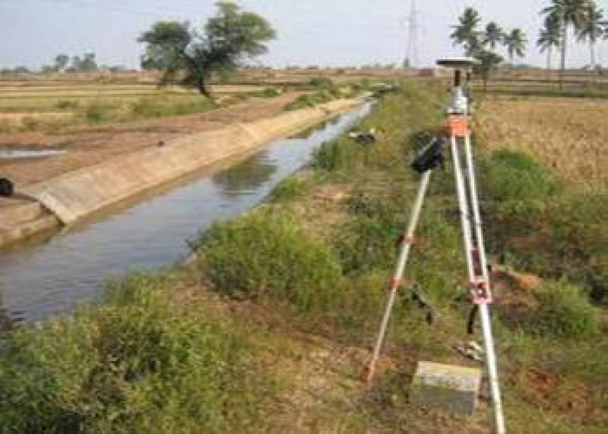
Command Area

A catchment is an extent or an area of land where surface water from rain and melting snow or ice converges to a single point, usually the exit of the basin, where the waters join another waterbody, such as a river, lake, reservoir, estuary, wetland, sea, or ocean.
A catchment is an extent or an area of land where surface water from rain and melting snow or ice converges to a single point, usually the exit of the basin, where the waters join another waterbody, such as a river, lake, reservoir, estuary, wetland, sea, or ocean. Other terms that are used simultaneously drainage basin, catchment area, catchment basin, drainage area, river basin, water basin and watershed.
Command area is completely different as stated by Manish command area is the area which is going to be benefited due to a particular project. It may or may not lie in the catchment area and secondly for a particular drainage system catchment area is fixed but the command area will change depending on the scale of the project, according to Quora.com.
The Centrally sponsored Command Area Development (CAD) Programme was launched in 1974-75 with the main objectives of improving the utilisation of created irrigation potential and optimising agriculture production and productivity from irrigated agriculture through a multi-disciplinary team under an Area Development Authority.
The evaluation made in the past has revealed that the CAD Programme made positive impact on various important indicators, like increase in the irrigated area, productivity and production, irrigation efficiency etc. Despite efforts for efficient irrigation water management, the problem of water logging surfaced in many irrigated commands. Currently, Command Area Development Programme has been amalgamated with the AIBP to reduce the gap between irrigation potential that has been created and that is utilized.
During 2013-14, an area of 4.3 lakh hectares were covered under micro irrigation. Whereas, during 2014-16, an area of 12.74 lakh hectares had been brought under micro irrigation under Pradhan Mantri Krishi Sinchayee Yojana (PMKSY) which is an increase of 200 %. Under PMKSY-AIBP, 99 ongoing irrigation projects along with their Command Area Development & Water Management (CADWM) works have been identified in consultation with the States for completion in phases up to December 2019, targeting 76.03 lakh ha coverage area with an amount of Rs. 77,595 crore.
The Union Cabinet on July 27, 2016 had approved establishment of the Mission to ensure completion of 99 prioritized projects in phases by December 2019 including Command Area Development and Water Management (CAD&WM).


