Live
- Basavanagudi Kadalekai Parishe: Govt gives good news to groundnut traders
- Yanamala blames YSRCP policies for collapse of state economy
- Call to inculcate habit of reading books
- 63% parents give milk to their kids to maintain intake of calcium
- Maoist Leader Manjula Surrenders in Warangal, Receives ₹20 Lakh Reward
- Kartika Purnima celebrations fervour marks Telugu States, devotees flock to shiva shrines
- YSRCP alleges meagre fund allocations for Super Six schemes
- Telangana CM Reviews Plans for First Anniversary of State Government
- Vijayawada: Kindness Day celebrated
- Rajamahendravaram: Students advised to set clear goals
Just In

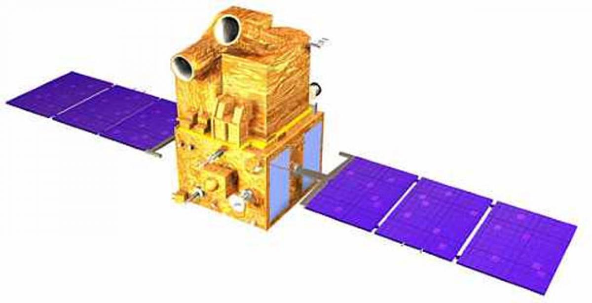
India on Friday will launch its earth observation satellite Cartosat-2 series weighing 712 kg and 30 co-passenger satellites (29 foreign, one Indian) with its rocket Polar Satellite Launch Vehicle (PSLV).
India on Friday will launch its earth observation satellite Cartosat-2 series weighing 712 kg and 30 co-passenger satellites (29 foreign, one Indian) with its rocket Polar Satellite Launch Vehicle (PSLV). The satellite-enabled services in conjunction with ground data, to support farmers in India include weather forecasting, agro-advisory, agromet services, soil moisture and agricultural extension activities to support farming operations in the country The satellites designed by ISRO, which are currently in operation, to support these services and applications, include Resourcesat-2, Resourcesat-2A, RISAT-1, Cartosat-1, Kalpana-1, INSAT-3D and INSAT-3DR.
The Cartosat series of satellites are a type of earth observation satellites indigenously built by India. Up till now 6 Cartosat satellites have been launched by ISRO. The Cartosat series is a part of the Indian Remote Sensing Programme. Cartosat-1 was launched by PSLV-C6 on 5th May 2005 from Sriharikota. Cartosat-2 was launched by PSLV-C7 on 10 January 2007 from Satish Dhawan Space Centre's FLP at Sriharikota.
Cartosat-2 carries a state-of-the-art panchromatic (PAN) camera that take black and white pictures of the earth in the visible region of the electromagnetic spectrum. Cartosat series from 2A to 2D launched from April 2008 to January 2017 come with technical variations. The satellite that will be launched by PSLV-C38 on 23rd June is Cartosat 2D.
The imagery from the Cartosat-2 series satellite will be useful for cartographic applications, urban and rural applications, coastal land use and regulation, utility management like road network monitoring, water distribution, creation of land use maps, change detection to bring out geographical and manmade features and various other Land Information System (LIS) and Geographical Information System (GIS) applications. These Cartosat-2 series satellites are placed in a sun synchronous orbit with a designed mission life of 5 years.
The main objective of these satellites is to provide high resolution images of earth’s surface at sub-meter resolution (Black & White image) and at 2 meter resolution (4-band coloured image). The images obtained from these satellites are useful in variety of applications requiring high resolution images, which include cartography, infrastructure planning, urban & rural development, utility management, natural resources inventory & management, disaster management.

© 2024 Hyderabad Media House Limited/The Hans India. All rights reserved. Powered by hocalwire.com


