Live
- Horoscope for November 28: Decoding Cosmic Clues for All Zodiac Signs
- Aishwarya Rai Bachchan’s Sister-in-Law Shrima Rai Shares Cryptic Post After Taking a Dig at Her
- Karnataka: Congress ministers indulge in lobbying ahead of Cabinet reshuffle
- Sujata joins duty after Odisha govt rejects leave extension
- Tur, urad prices have fallen in last 3 months: Govt
- NASA Alert: 130-ft Asteroid 2024 WQ2 Racing Past Earth at Over 62,000 km/h – Should We Be Concerned?
- What is UNSC Resolution 1701 and How it Relates to the Israel-Lebanon Ceasefire
- CM Mohan Majhi reviews preparedness at BJP state office ahead of PM Modi's visit
- Foods that boost the brain and sharpen memory
- Lisandro Martinez available for selection against Bodo/Glimt confirms Amorim
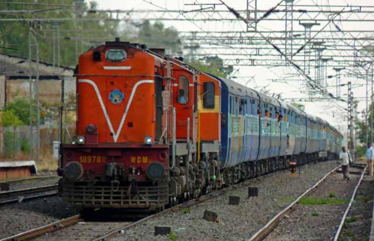
ISRO’s eye to help rlys safe journey


ISRO’s eye to help rlys safe journey. Indian Railways will join hands with ISRO to get online satellite images for improving safety and enhancing efficiency.
New Delhi: Indian Railways will join hands with ISRO to get online satellite images for improving safety and enhancing efficiency. “We will undertake a massive exercise of GIS mapping of the entire rail route and assets including buildings, land, workshops and other facilities in the network using geospatial technology,” said a senior Railway Ministry official involved with the GIS mapping project.
Geospatial technology involves GPS (global positioning systems), GIS (geographical information systems), and RS (remote sensing).The official said geospatial services will be available from satellite-assisted navigational support through the GPS-aided geo-augmented navigation (GAGAN) system of ISRO. “We will sign an MoU with ISRO shortly to avail the online satellite images to create a GIS platform,” said the official.
The MoU will facilitate getting images and communications through the satellite system. While the images will help in mapping the area, communications will enable the introduction of wi-fi service in trains in a larger way. The technology will come in handy at the time of accidents when it can be used to ascertain the exact location of trains and the topography.
Besides, it will also help railways in developing solutions for safety at unmanned level crossings with remote sensing facility. Safety at unmanned level crossings is a cause of serious concern for railways and the public transporter is exploring various ways to address the issue.


