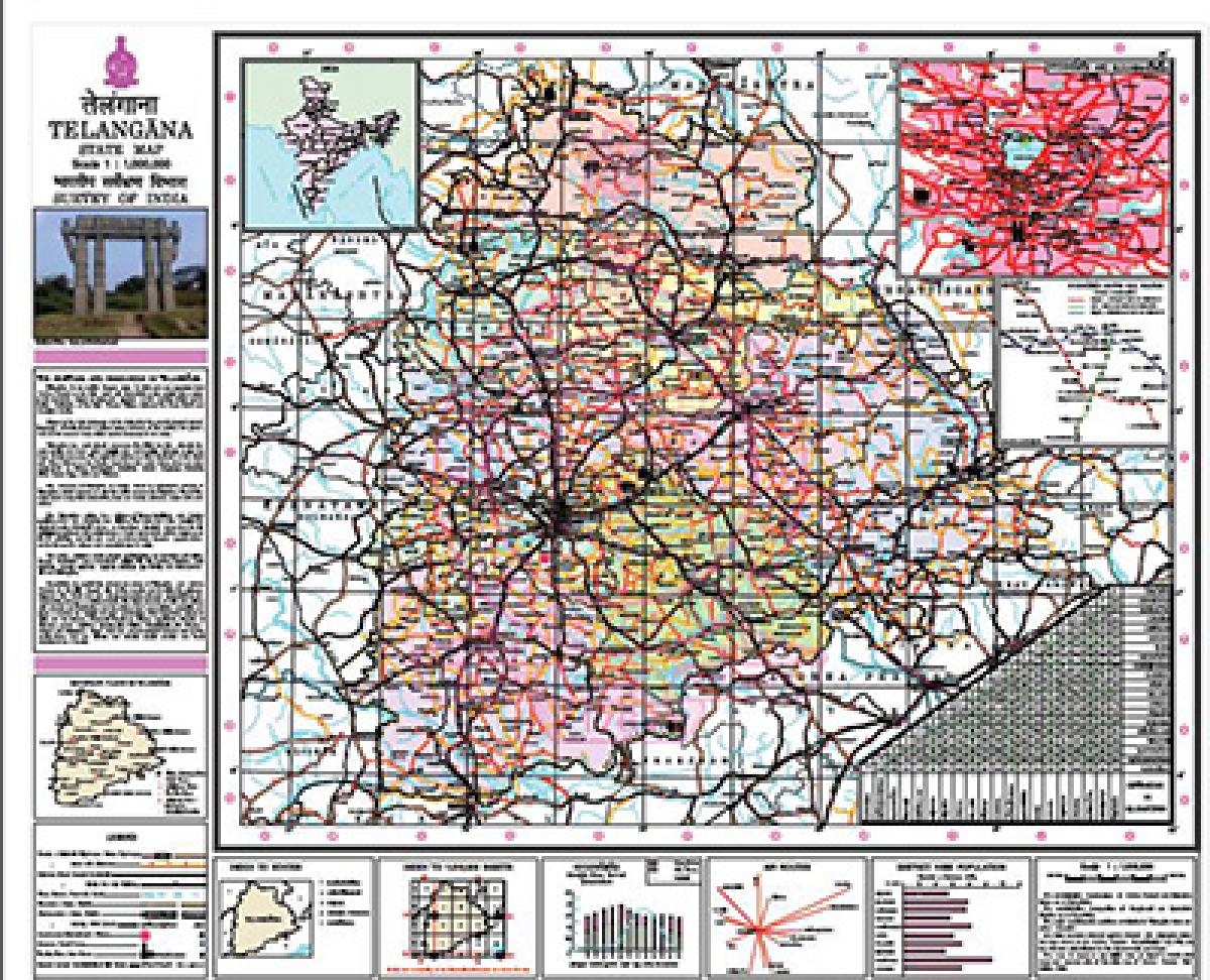
TS topographical map released

TS topographical map released
x
Highlights

The Survey of India has released the topographical map of the youngest State of India-Telangana-and has incorporated it in its downloads.The Map based on the combined State\'s map of 1998 with details of Census figures of 2011 has been uploaded in its website.

New Delhi: The Survey of India has released the topographical map of the youngest State of India-Telangana-and has incorporated it in its downloads.The Map based on the combined State's map of 1998 with details of Census figures of 2011 has been uploaded in its website.


Interestingly, the map of Andhra Pradesh does not figure in the downloads as it is still under preparation. The multi-coloured map contains a note on Heritage and Resources of the nascent State. It lists all important places, headquarters of the State and Districts and tourist and wildlife spots, highways etc and provided in detail. Hyderabad city's temperature and air connectivity etc are the other features.


The authorities ensured to mention that it was made based on the AP Reorganization Act, 2014 and also that it was not authenticated by the respective State Governments. However, it categorically lists the seven mandals of the erstwhile Khammam district which were merged with the State of Andhra Pradesh following an amendment later in the new AP State.

Show Full Article
Print Article
Next Story
More Stories
ADVERTISEMENT
ADVERTISEMENTS